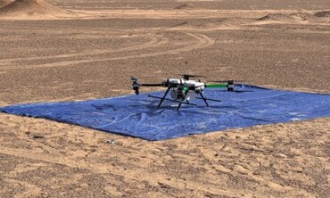
Integrated Hard-Rock Lithium Exploration: Drone and Ground Geophysics, Laboratory Analysis and AI
Arabian Shield, Saudi Arabia
An ongoing exploration programme for lithium-bearing pegmatites that goes beyond anomaly picking to an understanding of the rocks themselves.
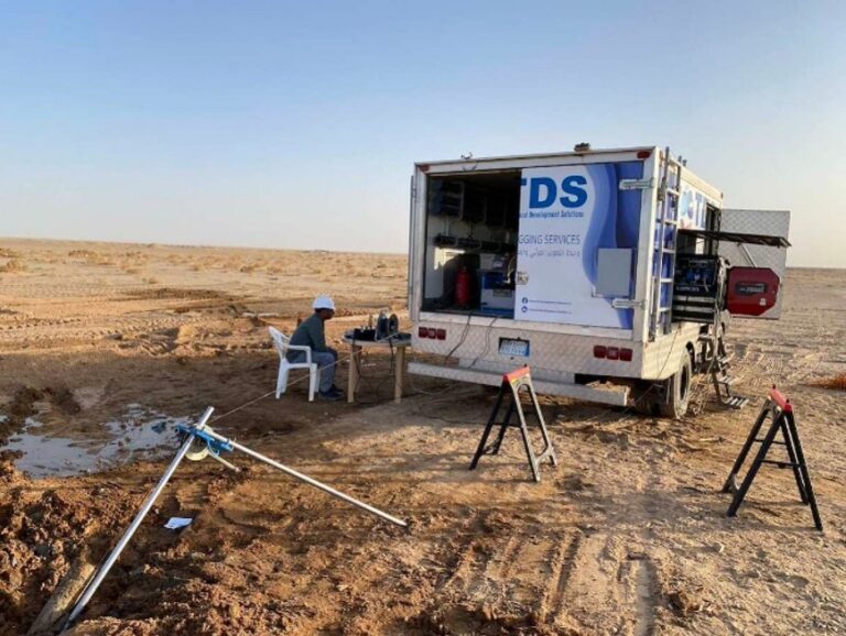
Borehole Geophysical Logging for Hard-Rock Lithium Exploration
Arabian Shield, Saudi Arabia
In the exploration drill holes of the same lithium prospect, TDS logged natural gamma, induced polarisation, magnetic susceptibility, electrical resistivity and hole verticality.
Advanced Geophysical Methodologies for VMS Exploration
Hawiyah deposit, Arabian Shield, Saudi Arabia
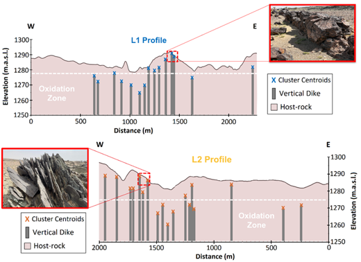
At a volcanogenic massive sulphide system TDS developed and applied three advances that reduce interpretation uncertainty.
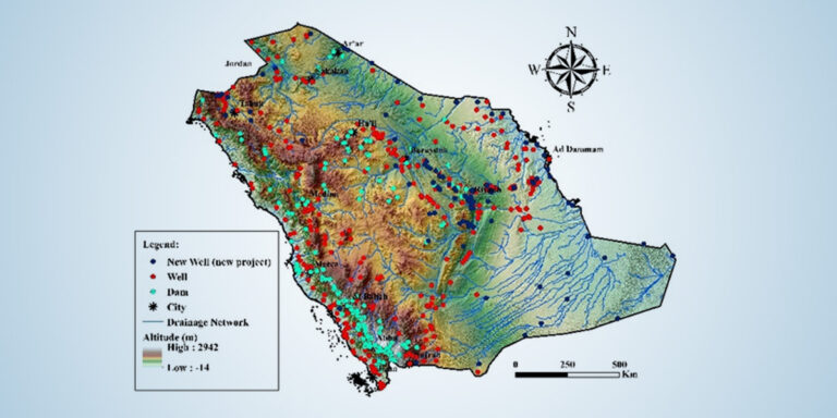
National Hydrological Network and Monitoring Wells
Kingdom of Saudi Arabia, all regions
TDS delivers the Kingdom’s national hydrological network end to end: rainfall, climate, dam-level, wadi-flow and groundwater-monitoring stations across every region.
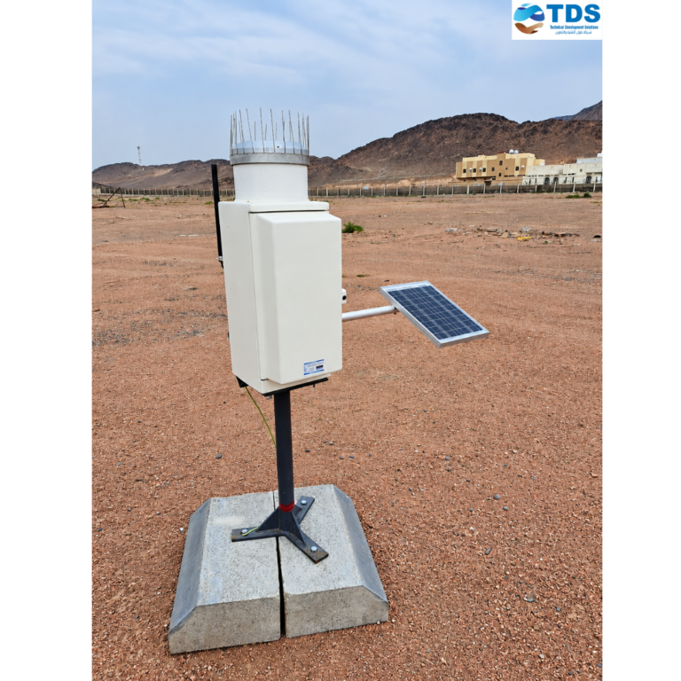
Expansion of the National Hydrometeorological Network
Kingdom of Saudi Arabia, all regions
A programme to extend the national hydrometeorological network with modern observation systems. TDS evaluated the coverage of the existing network and selected the new sites from hydrological and hydrometeorological criteria.
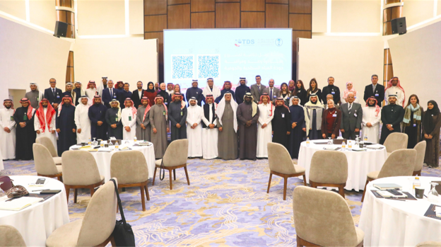
National Water Quality Monitoring Programme for Groundwater and Surface Water
Kingdom of Saudi Arabia, nationwide
TDS supported the national environmental regulator in building a sustainable, Kingdom-wide water-quality monitoring programme.
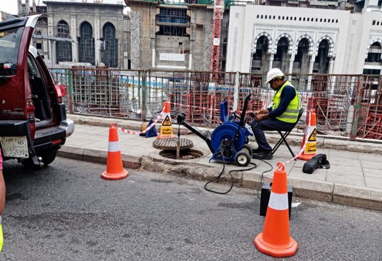
Hydrochemical Monitoring in the Zamzam Protected Groundwater Zone
Makkah al-Mukarramah, Wadi Ibrahim
Wadi Ibrahim is the main feeder of the Zamzam well, and large construction works around the Holy Mosque made it necessary to confirm that the groundwater in its protection zone was not being affected.
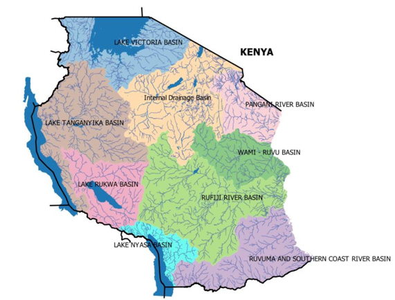
Modernisation of the National Hydro-Met Monitoring System (World Bank funded)
United Republic of Tanzania, all river basins
TDS is rehabilitating, supplying, installing and commissioning weather, surface-hydrology and groundwater monitoring stations across Tanzania.
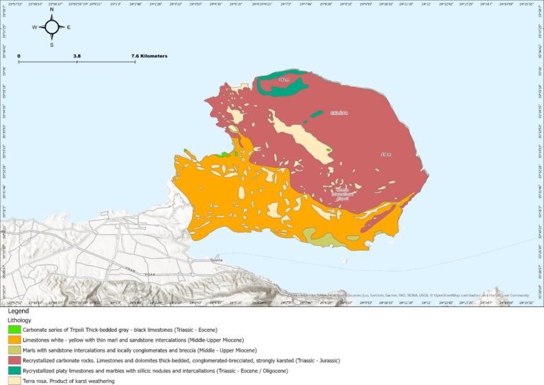
Offshore Freshened Groundwater: Potentiality Mapping and Utilisation Feasibility (EU funded)
Akrotiri Peninsula, Chania, Crete, Greece
A feasibility screen, funded by the European Union through a COST Action research mission, for using offshore freshened groundwater as a new coastal water source.
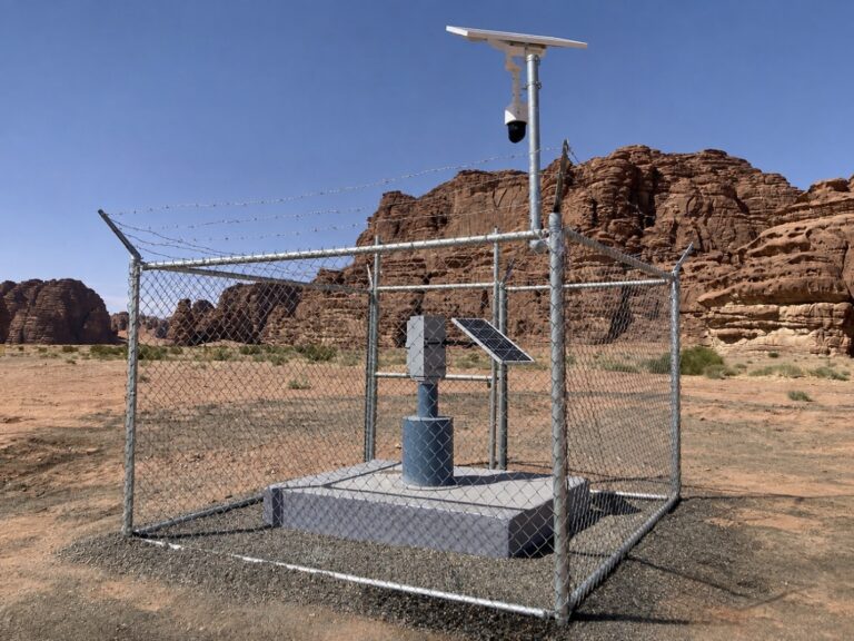
Seawater Intrusion and Groundwater Contamination Study and Monitoring Network
NEOM, Tabuk region, north-west Saudi Arabia
A regional hydrogeological study backed by geophysics, followed by a permanent monitoring network.
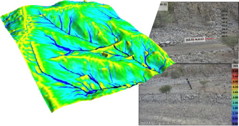
Non-Contact Flow Monitoring: Wadis in Saudi Arabia and the UAE, and the Nile River in Egypt
NEOM, north-west Saudi Arabia · United Arab Emirates · Nile River, Egypt
TDS measures river and flash-flood discharge without touching the water. Camera-based stations read surface velocity and water level and compute discharge in real time.
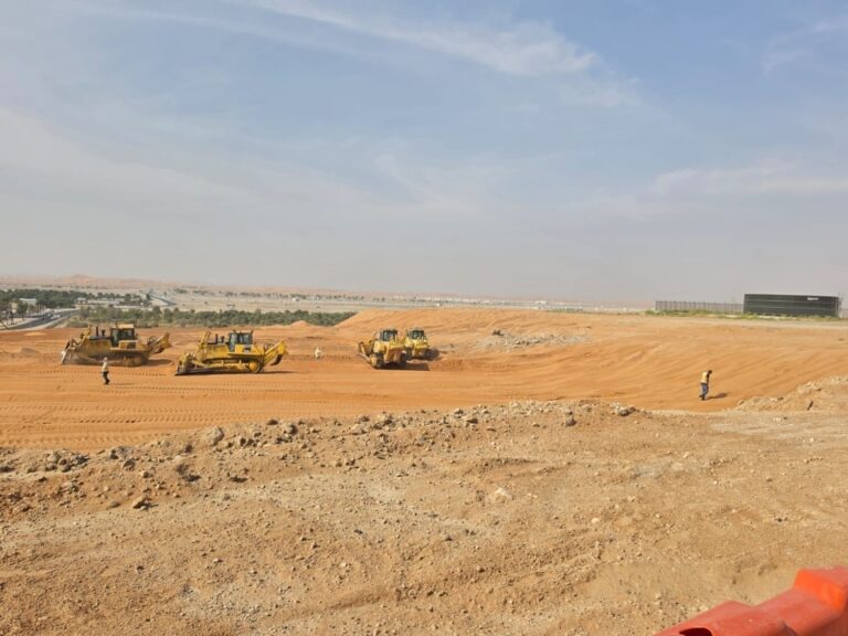
Design, Construction Supervision and Upgrade of Roads and Infrastructure in Flood-Affected Areas
Al Ain, Abu Dhabi, United Arab Emirates: Al Amrah, Al Salamat, the Industrial Area and Al Quaa
After severe flooding hit parts of Al Ain, the municipality launched a programme to upgrade the roads and infrastructure of the affected districts and make them resilient to extreme rainfall.
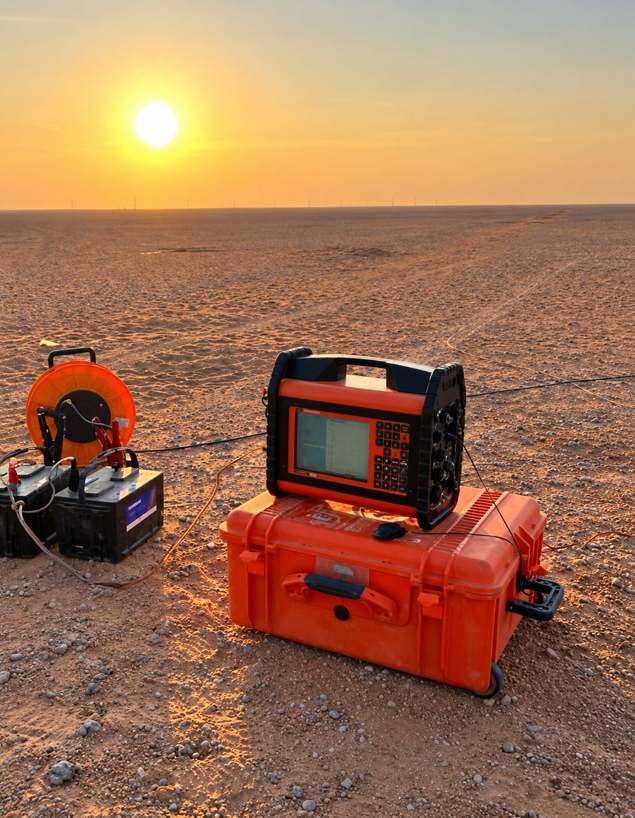
Aquifer Storage and Recovery Feasibility and Simulation
North of Riyadh, Saudi Arabia
A feasibility study for storing water in a deep sandstone aquifer and recovering it when needed. TDS mapped salinity across the aquifer with hydrochemistry and isotopes.
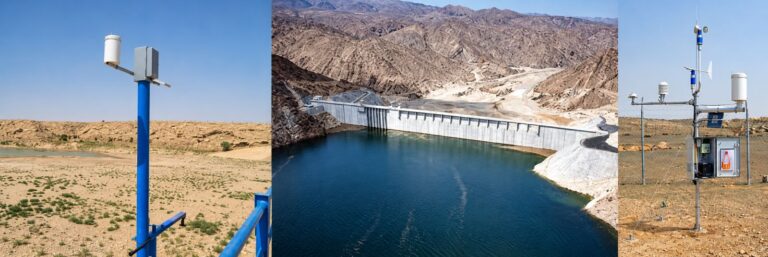
Furata: National Hydro-Environmental Digital Twin
Kingdom of Saudi Arabia
Furata is TDS’s own software platform, built in house as a digital twin of the Kingdom’s water and climate system. Live feeds from more than 1,000 rainfall, climate, groundwater, dam and wadi-flow stations are integrated with hydrological and groundwater models.
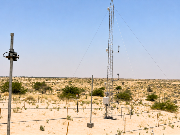
Automatic Sand Encroachment Monitoring Station
Al Ahsa, Eastern Region, Saudi Arabia
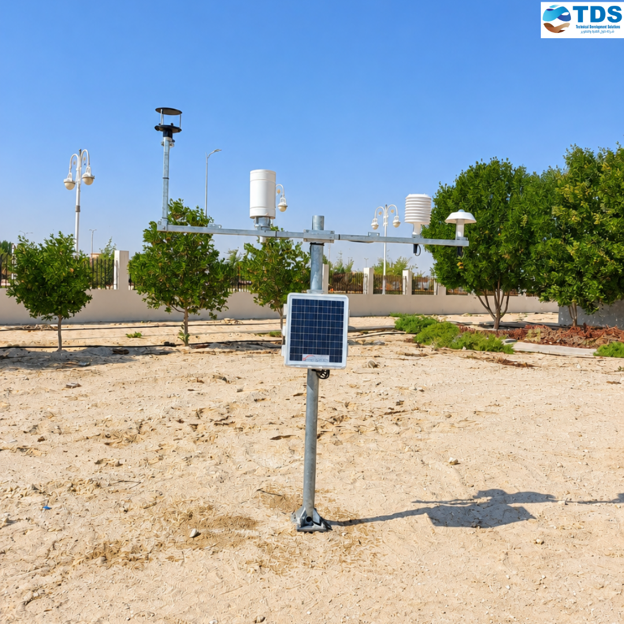
TDS supplied, installed and commissioned a fully autonomous station to measure wind-driven sand movement at a remote desert site. A meteorological tower carries a near-surface wind-speed profile, wind speed and direction at 10 m, temperature, humidity and rainfall sensors.
Kingdom-Wide Operation and Maintenance of Meteorological Stations and Climate Reporting
Kingdom of Saudi Arabia, all regions
TDS operates, maintains and calibrates the national network of automatic meteorological stations, keeping every sensor within specification.
Natural Hydrogen Exploration: Integrated Geophysics, Geochemistry and AI-Assisted Modelling
North-western Greece · Arabian-Nubian Shield (Saudi Arabia, Egypt, Oman, United Arab Emirates)
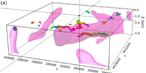
TDS works on focus on ophiolitic and ultramafic rocks where serpentinisation produces hydrogen through water-rock reaction.
Geothermal Well Logging and Reservoir Characterisation
Harrat Al Madinah volcanic field, western Saudi Arabia
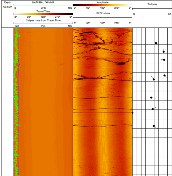
TDS logged three deep geothermal wells of about 1,000 m each and processed and interpreted the data to characterise the resource.
CO₂ Sequestration Feasibility in Deep Saline Aquifers
Arabian Platform, north of Riyadh, Saudi Arabia
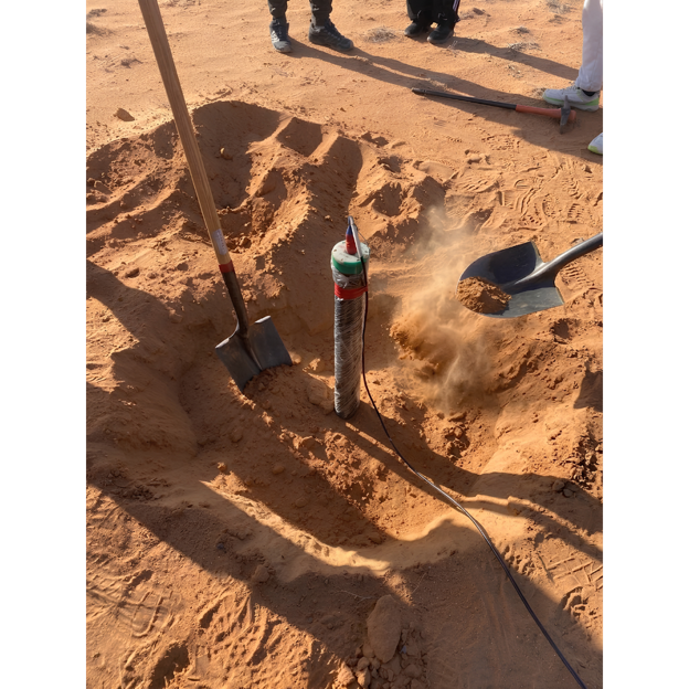
A regional feasibility study of permanent CO₂ storage in the deep saline formations that lie beneath the Kingdom’s freshwater aquifers.
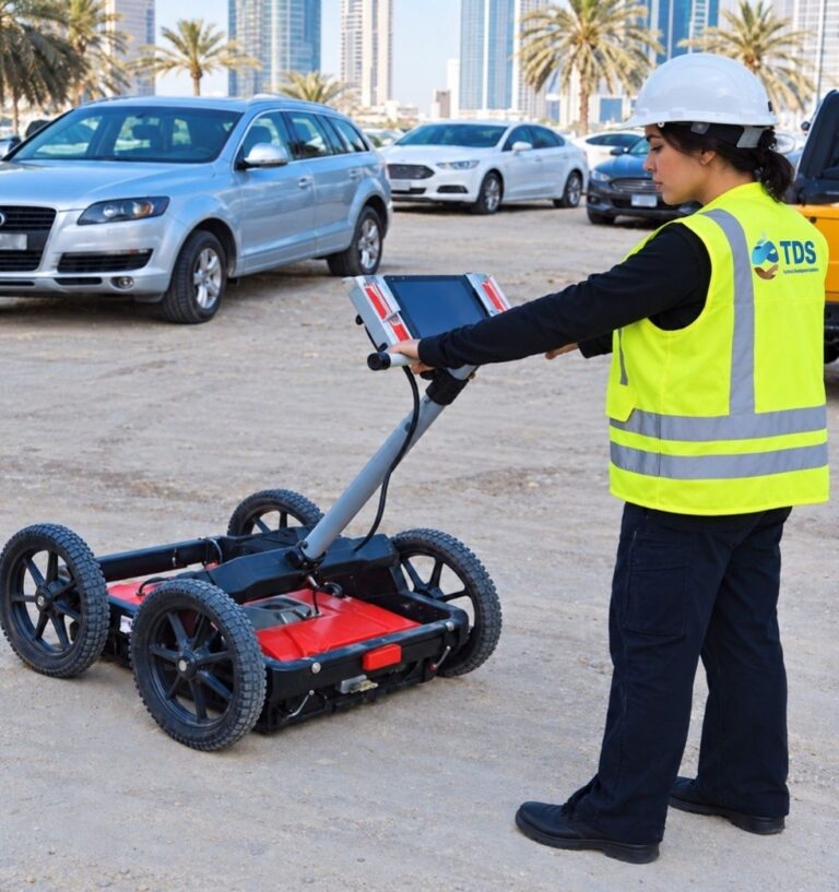
Ground-Penetrating Radar Detection of Buried Infrastructure at an International Airport
United Arab Emirates
Airports sites in engineering: fuel lines, power and communications ducts, drainage, lighting circuits and older, undocumented structures lie beneath live aprons and taxiways, and any strike during works stops operations.
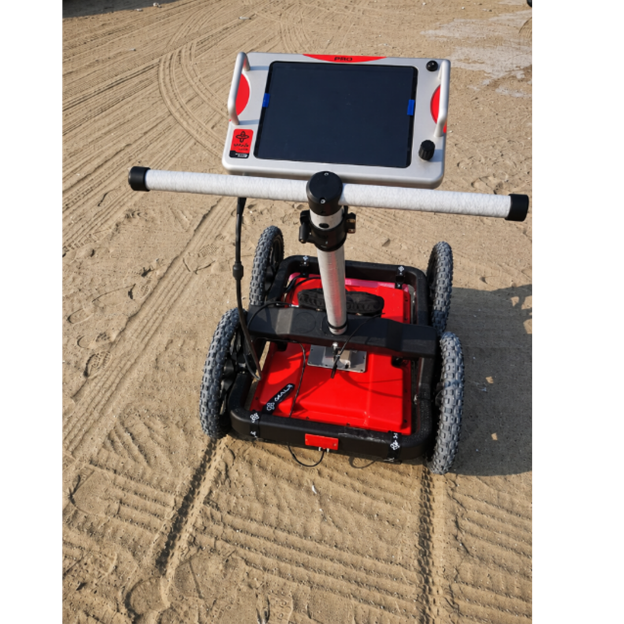
Ground-Penetrating Radar Structural and Pavement Assessment
Abu Dhabi, United Arab Emirates
Non-destructive assessment of concrete structures and pavements by high-frequency ground-penetrating radar. TDS mapped reinforcement layout, cover depth and spacing, located post-tensioning tendons, embedded conduits and voids.
No projects in this industry yet.