WHAT WE DO
Four capabilities. One connected perspective.
TDS brings field acquisition, scientific interpretation and data systems together. Each capability can stand alone or form part of an integrated programme.

Subsurface Intelligence
A connected picture of what lies below the surface. We combine field measurement and interpretation to support decisions about resources, sites and infrastructure.
Ground, air and drone geophysics • Borehole logging • Hydrogeological and geological modelling

Monitoring
Environmental measurement that continues beyond the baseline. TDS designs and operates monitoring programmes across air, soil, water and marine environments.
Integrated monitoring networks • Calibration and O&M • Emergency response • One central data service

AI and Data Management
Turn field data into a usable, governed source of intelligence. We connect acquisition, storage and analysis so teams can interpret evidence in context.
Databases and cloud migration • Data security • Analytics dashboards • AI interpretation and forecasting

Disaster management
Understand how natural hazards may develop. Measurement, modelling and AI support forecasting for communities and infrastructure operators.
AI-powered flood forecasting • Landslide forecasting • Inundation forecasting
WHERE WE APPLY IT
The science connects. The application is specific.
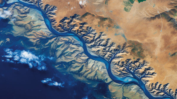
Water
Aquifer characterisation, well services and resource monitoring for water authorities and utilities.
Water services →
Environment
Baseline studies, impact assessment and compliance monitoring across air, land and water.
Environment services →
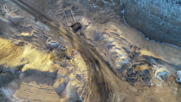
Mining
Exploration geoscience, mine-water intelligence and monitoring through the mine life cycle.
Mining services →
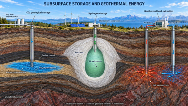
Green Energy
Subsurface assessment for CO₂ sequestration, hydrogen storage and geothermal resources.