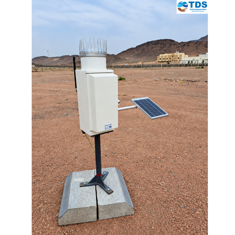
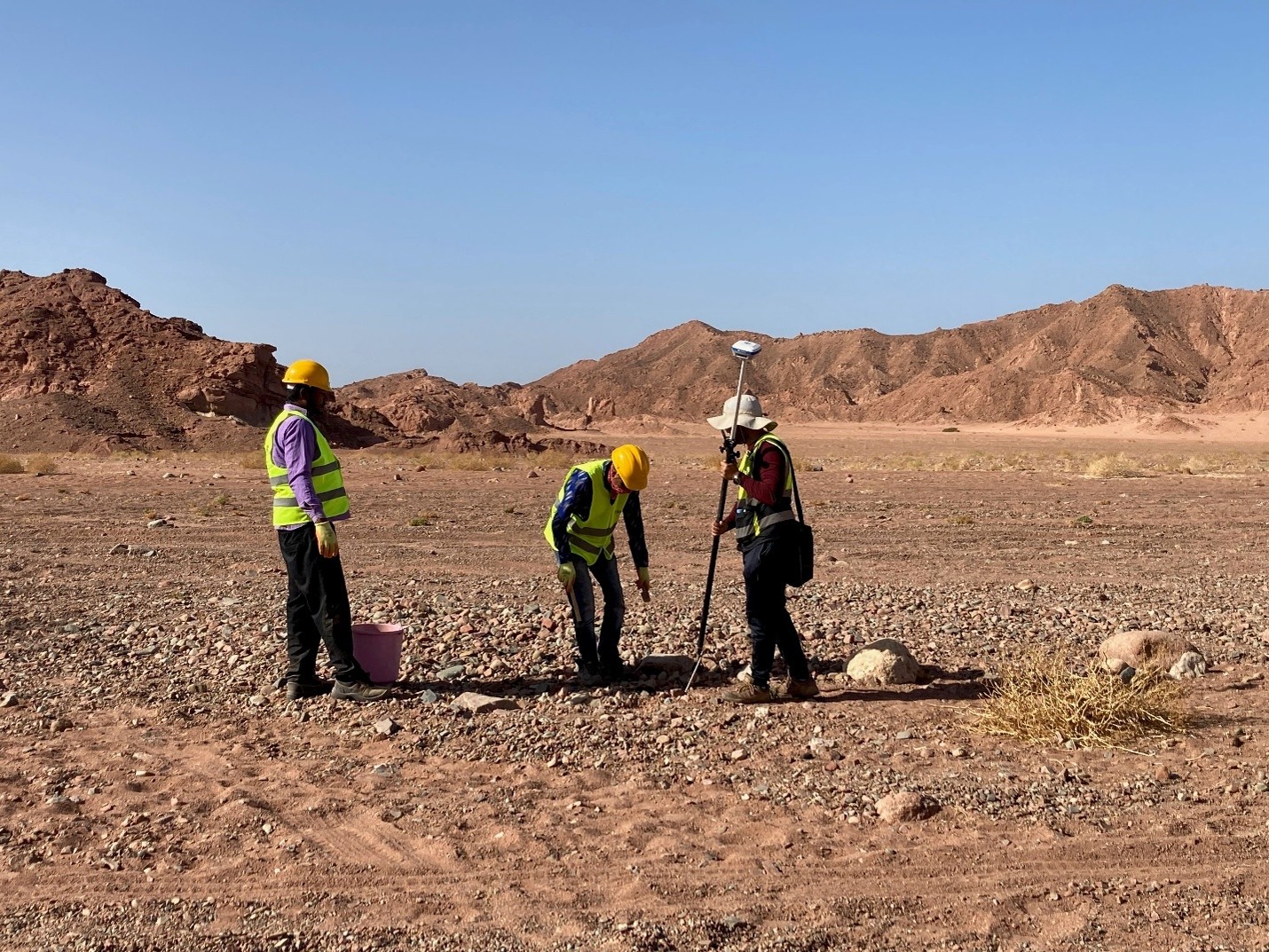
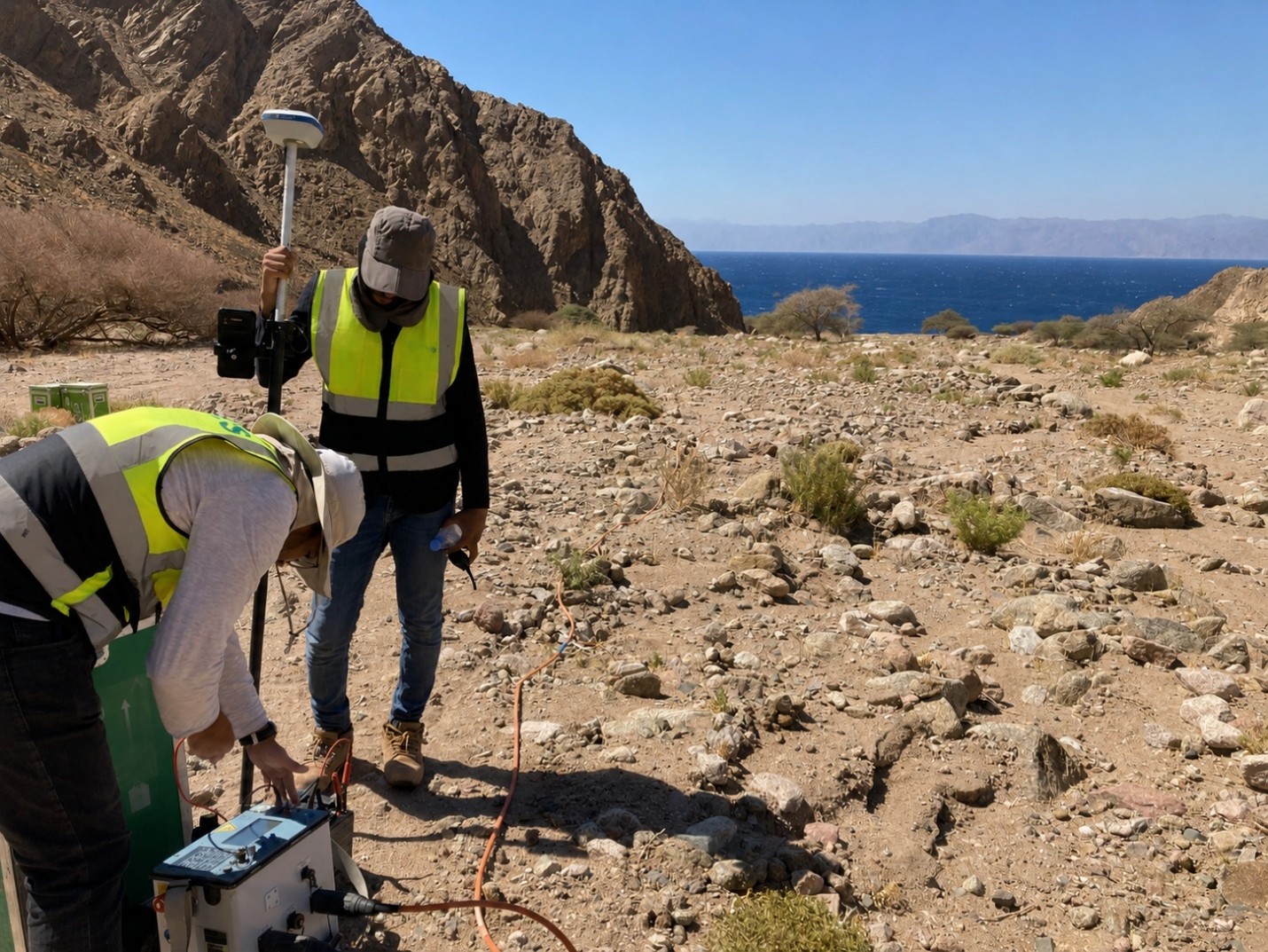
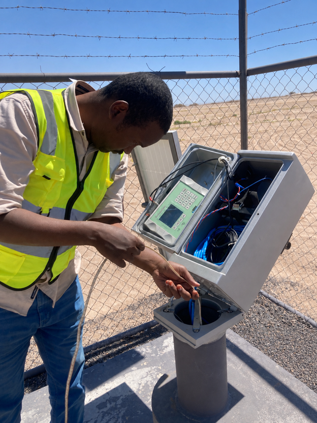
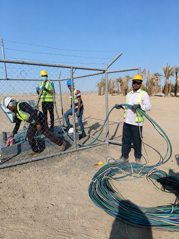
A regional hydrogeological study backed by geophysics, followed by a permanent monitoring network. TDS sampled existing wells as a baseline, ran electrical resistivity tomography and time-domain electromagnetic surveys to locate aquifers and intrusion risk, drilled, logged and pump-tested 20 monitoring wells, and equipped them with real-time sensors for water level, pH, dissolved oxygen, temperature, conductivity, redox potential and chloride. TDS operates the network and interprets the data.
National Hydrological Network and Monitoring Wells
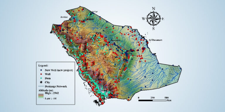
Kingdom of Saudi Arabia, all regions
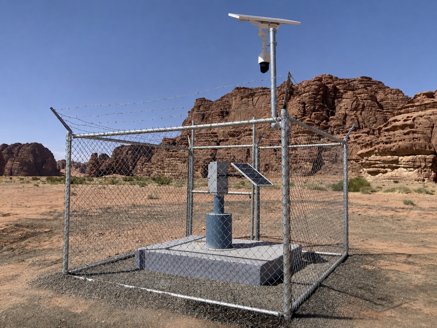
TDS delivers the Kingdom’s national hydrological network end to end: rainfall, climate, dam-level, wadi-flow and groundwater-monitoring stations across every region.