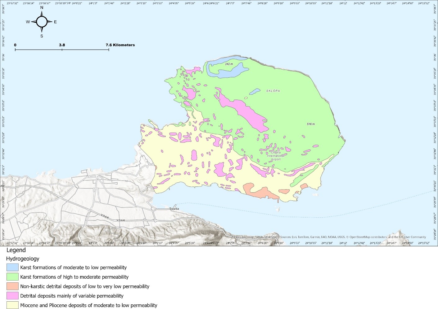
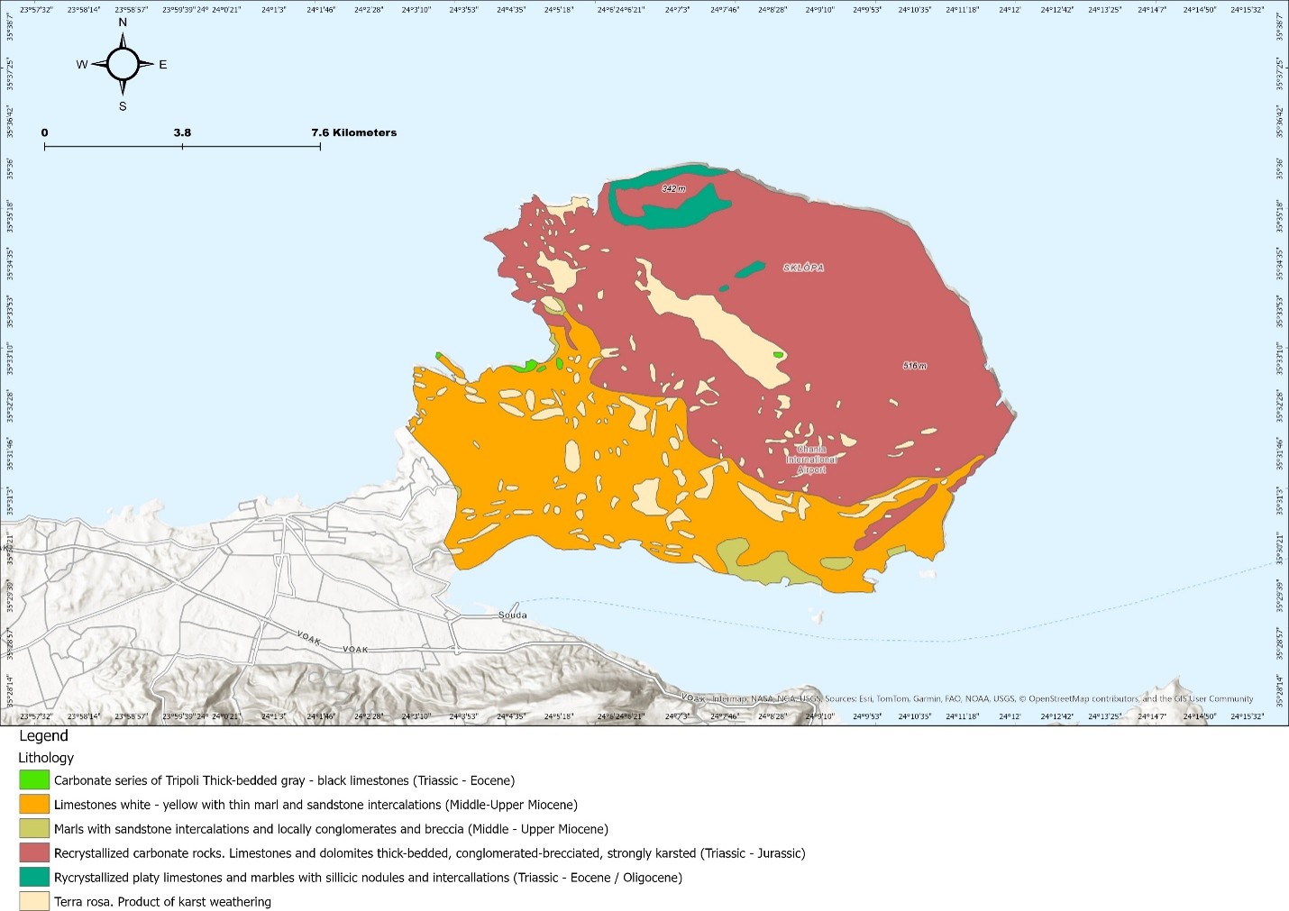
A feasibility screen, funded by the European Union through a COST Action research mission, for using offshore freshened groundwater as a new coastal water source. TDS built a GIS multi-criteria potentiality map that combines onshore and offshore hydrogeology, faults, drainage, seabed geology and bathymetry with environmental and land-use constraints (protected areas, archaeology, ports, airport, tourism), then characterised the hydro-stratigraphy, groundwater levels, hydrochemistry and submarine groundwater discharge of the selected corridor. Exploitable volumes and salinity were estimated for a shallow sedimentary and a deeper karst aquifer scenario using Mediterranean analogues and a sensitivity analysis, abstraction by subsea wells and horizontal directional drilling from shore were compared, and the desalination business case was assessed on energy consumption with an uncertainty (tornado) analysis.
National Hydrological Network and Monitoring Wells
Kingdom of Saudi Arabia, all regions
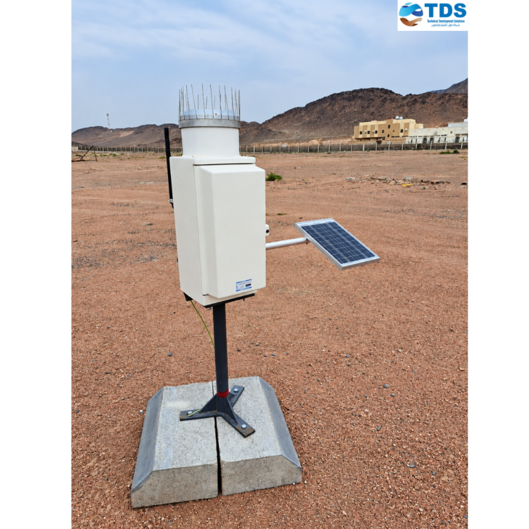
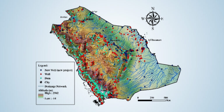
TDS delivers the Kingdom’s national hydrological network end to end: rainfall, climate, dam-level, wadi-flow and groundwater-monitoring stations across every region.