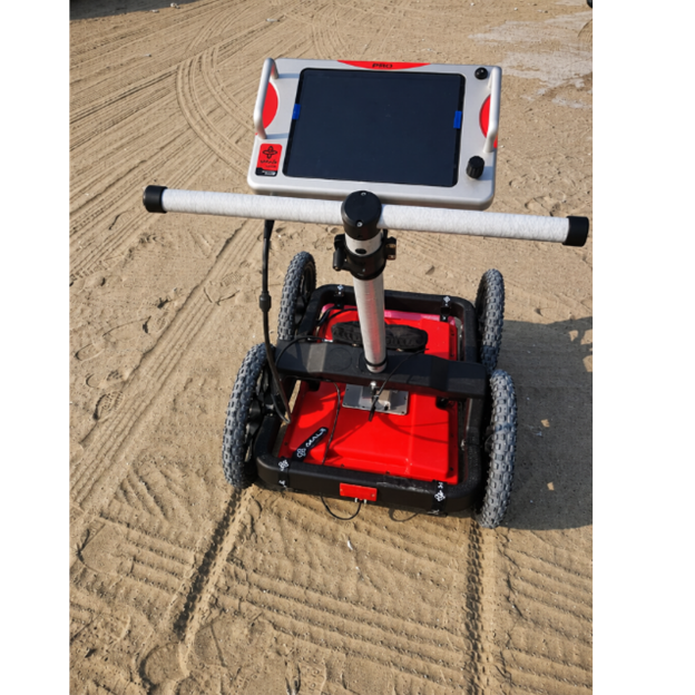
Non-destructive assessment of concrete structures and pavements by high-frequency ground-penetrating radar. TDS mapped reinforcement layout, cover depth and spacing, located post-tensioning tendons, embedded conduits and voids, and measured slab and pavement layer thickness along continuous profiles, so that the structural engineer had condition data across the whole element rather than from a handful of cores. Areas of anomalous response (honeycombing, delamination, moisture ingress or loss of support beneath slabs) were flagged for targeted coring and repair.
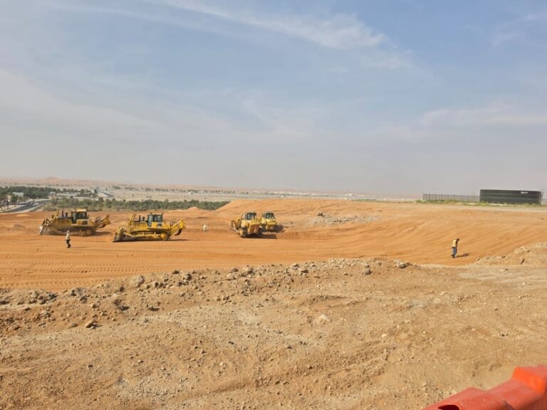
Design, Construction Supervision and Upgrade of Roads and Infrastructure in Flood-Affected Areas
Al Ain, Abu Dhabi, United Arab Emirates: Al Amrah, Al Salamat, the Industrial Area and Al Quaa
After severe flooding hit parts of Al Ain, the municipality launched a programme to upgrade the roads and infrastructure of the affected districts and make them resilient to extreme rainfall.