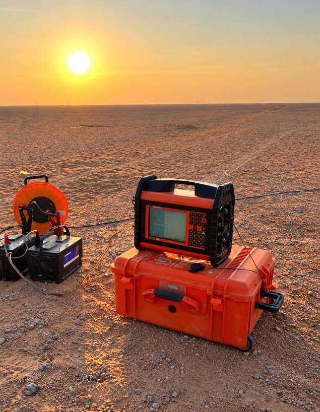
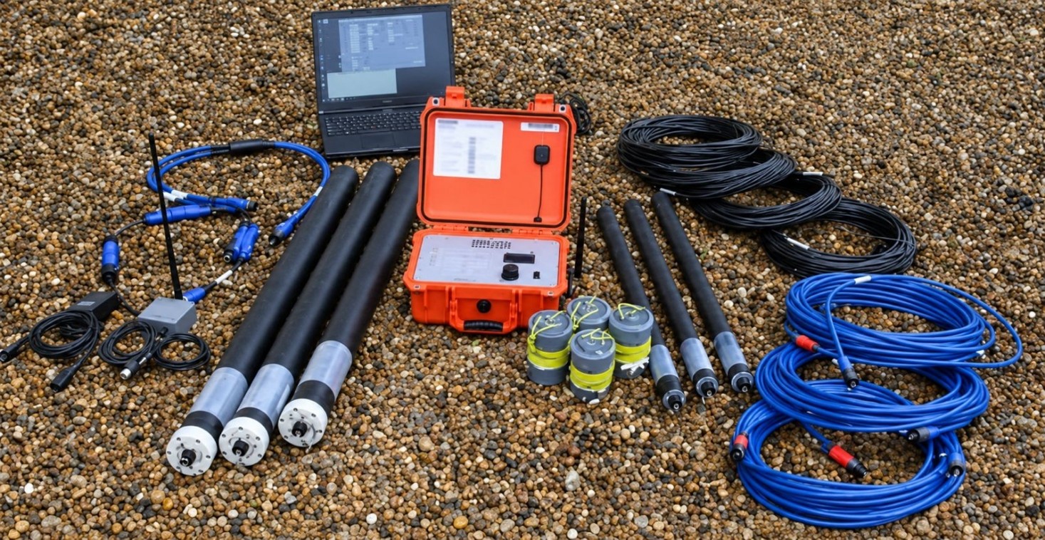
A feasibility study for storing water in a deep sandstone aquifer and recovering it when needed. TDS mapped salinity across the aquifer with hydrochemistry and isotopes, characterised its geometry and properties with magnetotelluric, transient-electromagnetic and gravity profiles tied to well data, and built a numerical groundwater model of the system. Injection and recovery cycles were simulated to test storage horizons, well placement and operating schemes, and the interaction between injected and native water was modelled explicitly: mixing, density and salinity contrasts, and the geochemical reactions that decide what quality comes back out.
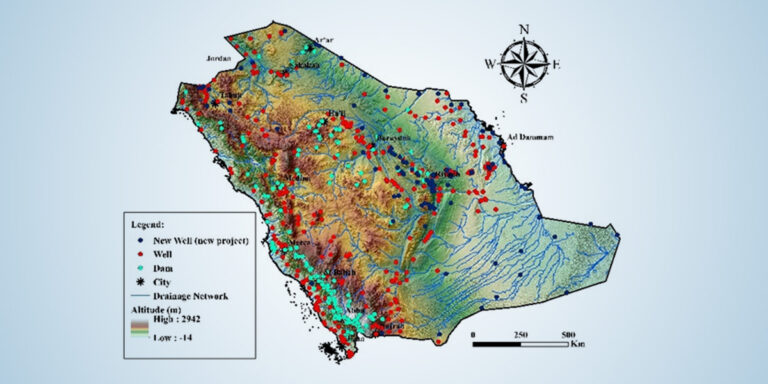
National Hydrological Network and Monitoring Wells
Kingdom of Saudi Arabia, all regions
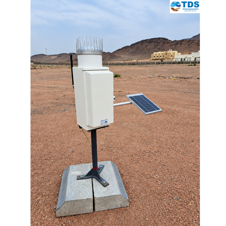
TDS delivers the Kingdom’s national hydrological network end to end: rainfall, climate, dam-level, wadi-flow and groundwater-monitoring stations across every region.