TDS uses a wide range of geophysical techniques combined with geological, hydrological and hydrogeological evidences to help in identifying :
Hydrology and Hydrogeological Modeling
 Surface Water Flow Modeling Surface Water Flow Modeling |
 Groundwater Flow Modeling Groundwater Flow Modeling |
 Watershed Hydrological Modeling Watershed Hydrological Modeling |
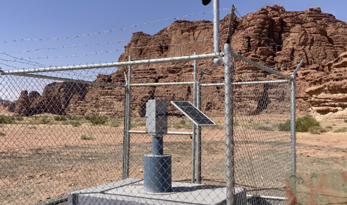
Flood Monitoring
 Flood risk assessment and management studies Flood risk assessment and management studies |
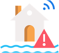 A flood warning system A flood warning system |
 Flood control measures Flood control measures |
Dam Hydrology
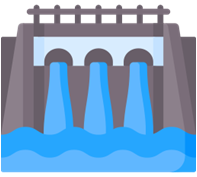 Dam safety monitoring Dam safety monitoring |
 Dam assessment services Dam assessment services |
Groundwater Exploration
 Aquifer characterization Aquifer characterization |
 Groundwater reverse estimation Groundwater reverse estimation |
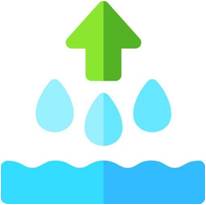 Dewatering investigations Dewatering investigations |
 Infiltration wells combined with online monitoring Infiltration wells combined with online monitoring |
 Groundwater flow Groundwater flow |
 Groundwater contamination inventory Groundwater contamination inventory |
 Managed Aquifer Recharge (MAR) Managed Aquifer Recharge (MAR) |
||
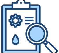
Site Investigation Service
 Water quality monitoring Water quality monitoring |
 Hydrogeological drilling supervision Hydrogeological drilling supervision |
 Installation and monitoring of downhole instrumentations Installation and monitoring of downhole instrumentations |
 Pumping tests Pumping tests |
 Groundwater exploration and resource evaluation services Groundwater exploration and resource evaluation services |
 Well water services Well water services |
 Radiological risk assessments Radiological risk assessments |
||
GIS Analysis
 Watershed delineation Watershed delineation |
 Water quality mapping Water quality mapping |
 Aquifer mapping Aquifer mapping |
 Groundwater modeling Groundwater modeling |
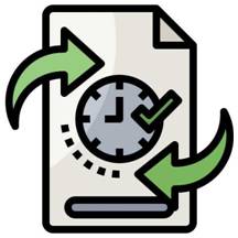
IT Consultancy, Data Analysis and Management
 Centralizing data from hydrological and hydrogeological monitoring Centralizing data from hydrological and hydrogeological monitoring |
 Database development Database development |