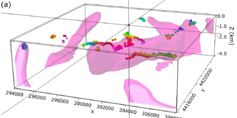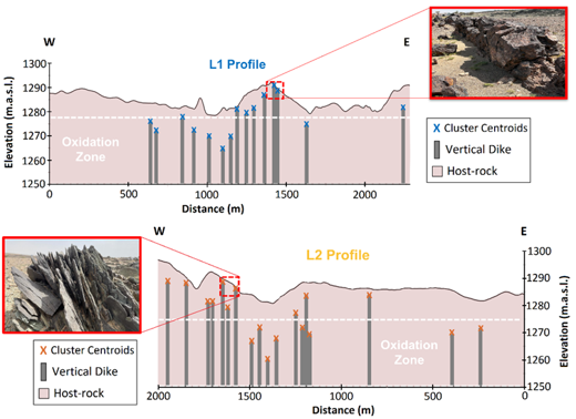
A regional feasibility study of permanent CO₂ storage in the deep saline formations that lie beneath the Kingdom’s freshwater aquifers. TDS acquired two regional geophysical transects of roughly 250 km in total (magnetotellurics, transient electromagnetics and gravity, tied to deep-well stratigraphy) to image the storage formations, their seals and the faults that cut them, and compiled a hydrochemical and isotopic dataset to establish how saline the target units are and how they connect, or do not connect, to the overlying fresh aquifers. A regional numerical model of flow, heat and salinity along the transects is used to simulate injection scenarios: storage capacity and injectivity, pressure propagation, plume migration and trapping, and the risk of brine or CO₂ displacement into usable groundwater.
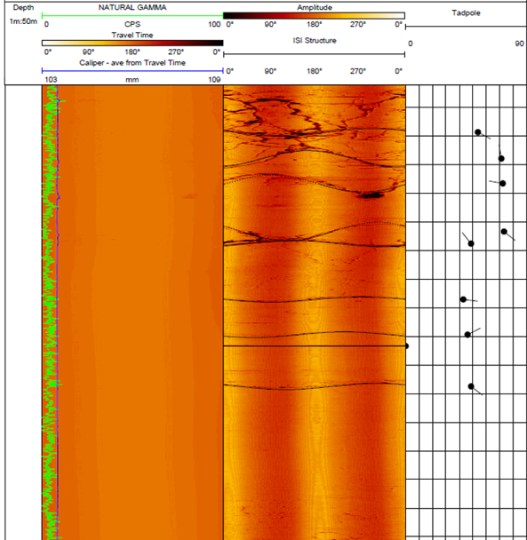
Geothermal Well Logging and Reservoir Characterisation
Harrat Al Madinah volcanic field, western Saudi Arabia
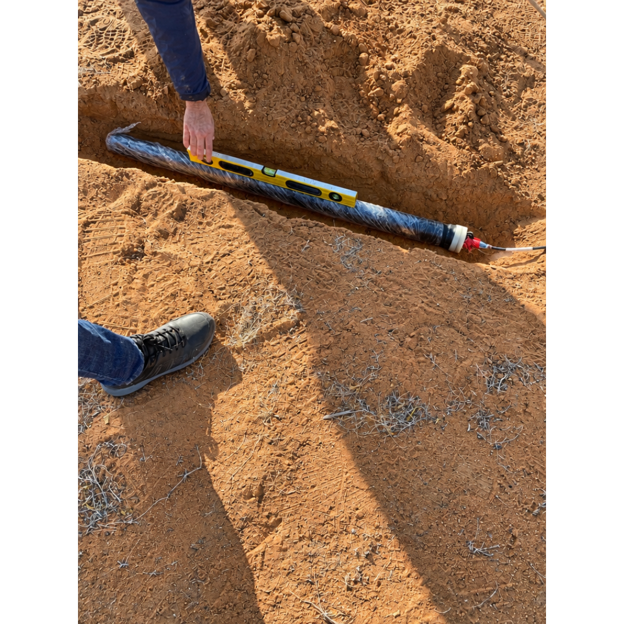
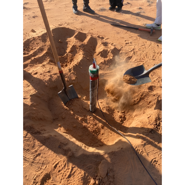
TDS logged three deep geothermal wells of about 1,000 m each and processed and interpreted the data to characterise the resource.